Abstract
Boulder Field is located in Hickory Run State Park in northern Carbon County, Pennsylvania. This striking geologic feature is situated in the Pocono Plateau section of the Appalachian Plateau physiographic province. Boulder Field covers an irregularly-shaped area of roughly 400 feet by 1,800 feet and has a depth of at least 12 feet below ground surface (bgs). The boulders in this region are situated in a roughly northeast-to-southwest orientation. Other, smaller fields nearby are also situated in a similar orientation. These boulders lay in a flat, roughly east-west trending valley near the headwaters of Hickory Run, which feeds the Lehigh River to the west. To the north and south of Boulder Field, drastically different geomorphic characteristics are present. These areas to the north and south are in contrast to the flat valley of Boulder Field, and are comprised of low, steep ridges that rise more than 200 feet above Boulder Field. This geologic feature is the largest of its kind in the Appalachian Mountains, and stands out predominantly as a unique quaternary feature in the eastern United States. Boulder Field was designated by the National Park Service as a natural national landmark in 1967 (Zagofsky, 2008).
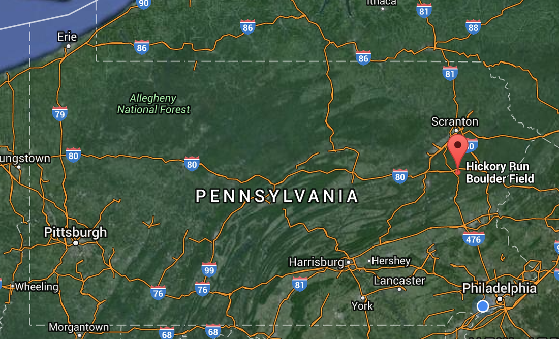
Image via GoogleMaps
